HOME EQUIPMENT QUALITY HISTORY STAFF CONTACT US

Topographical / Feature / Level Survey

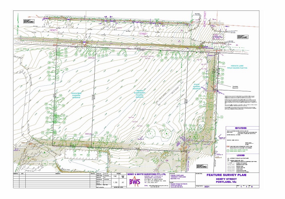
Topographical Feature and Level Surveys involve measuring and locating ground features like buildings, roads, kerbs, footpaths, trees and services including drainage pits, telecommunications services, power, water and sewer. Ground surface levels are measured to Australian Height Datum (AHD) and contours can be calculated and shown on the plan. The result is an accurate feature map of a specific location on which the property boundaries can also be Re‑established and shown on the plan.

This plan can be used to aid the design of future development on the site.

Detail & Site Feature Survey

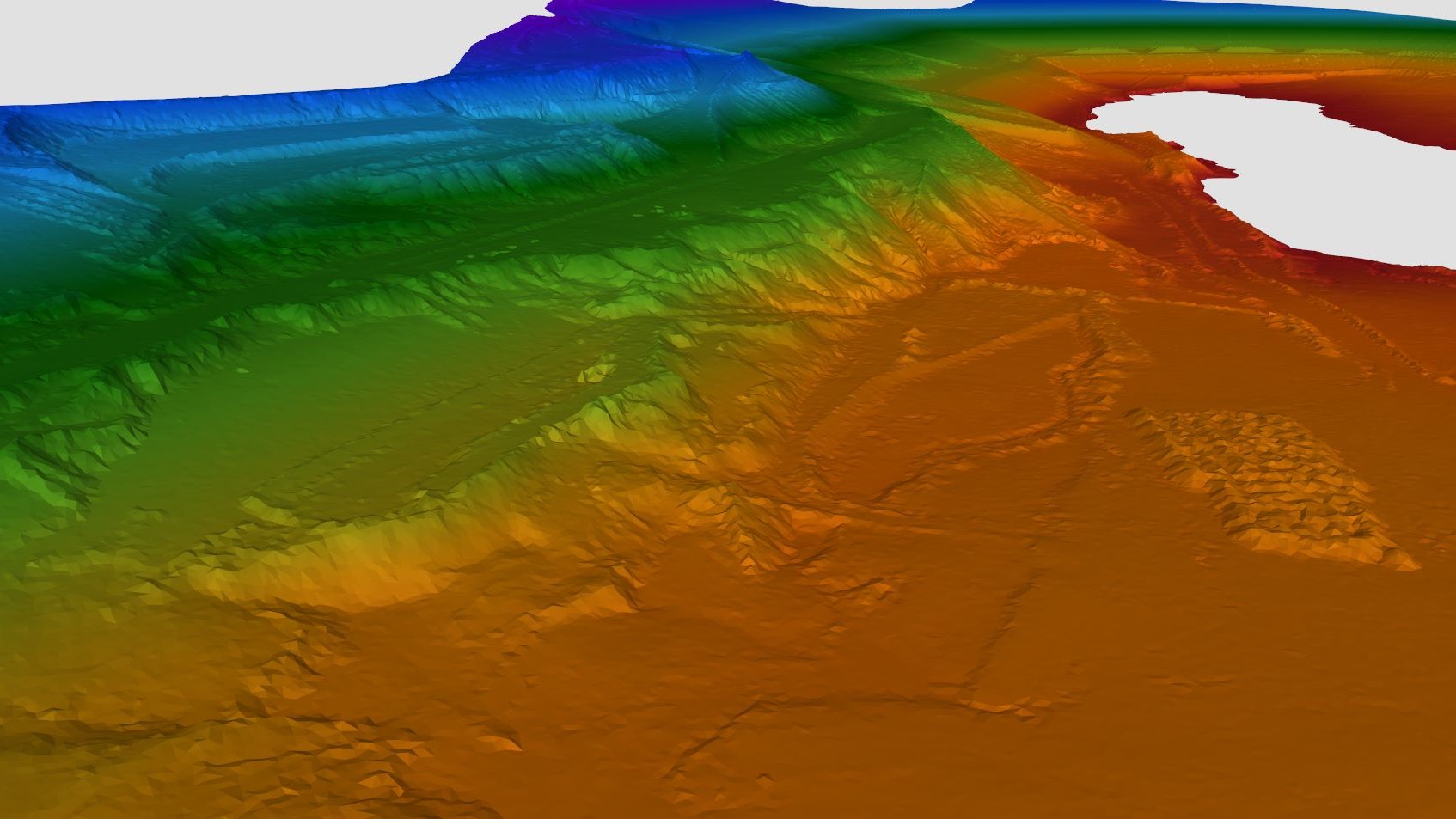
3D Surface Models (TIN)

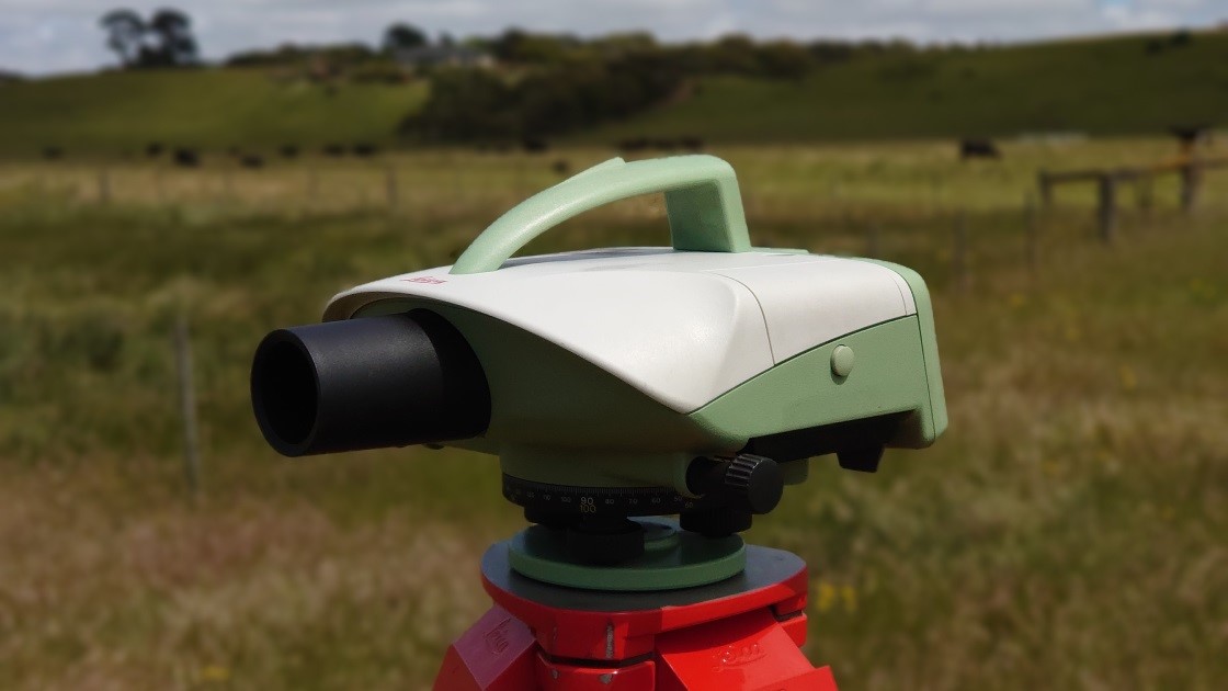
Precise Level Monitoring