Subdivision / Property
Boundary
Topographical / Feature /
Level
Contruction /
Setout / Monitoring
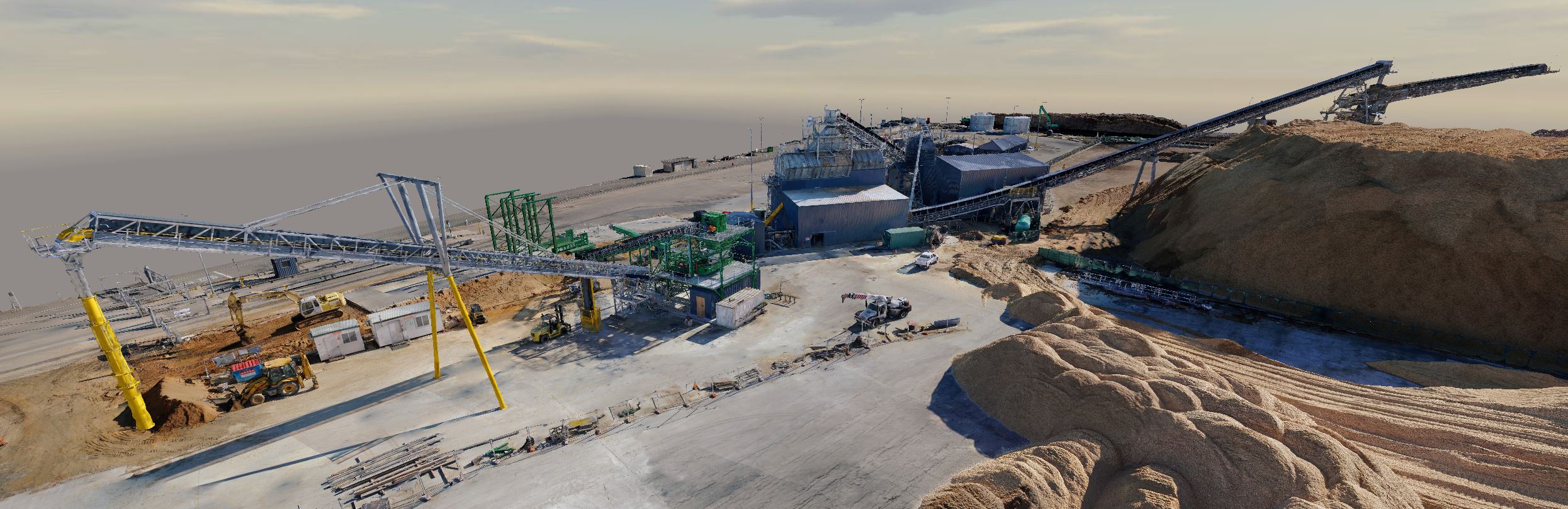
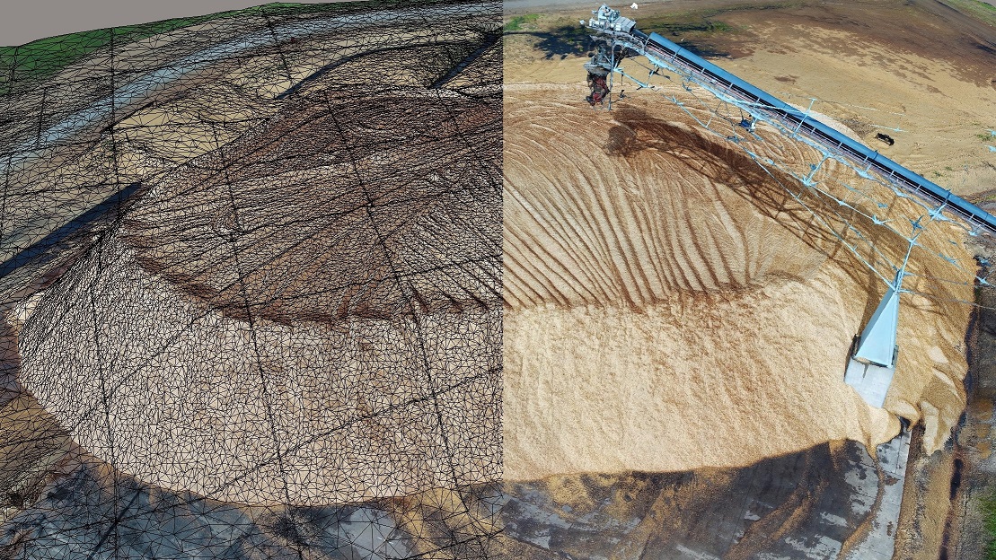
Earthworks & Stockpile
Volumes
Laser Scanning & Point
Cloud
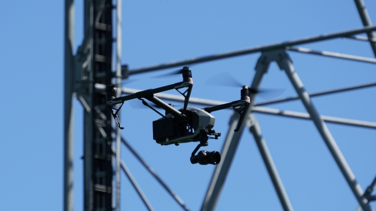
RPAS (Drone)
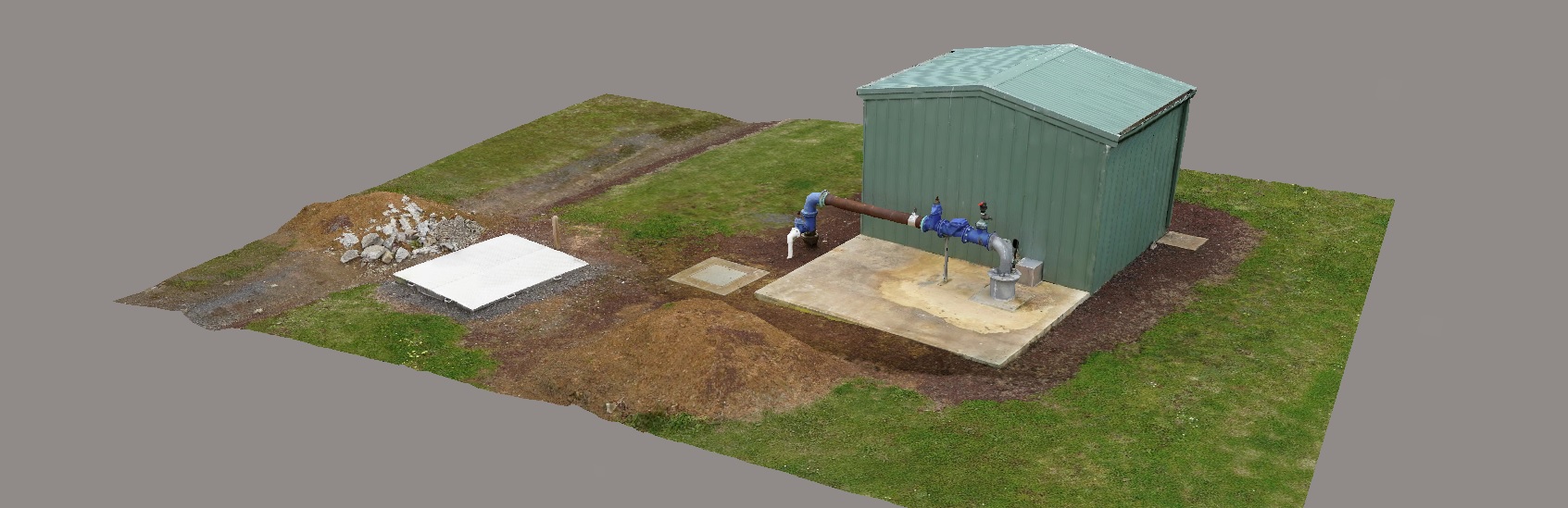
Inspection / 3D
Reality Capture
Concept Visualisation